Chesapeake & Delaware Canal Bridges
This is an image set within the Bridgemeister collection.
| Bridge: | Chesapeake & Delaware Canal Bridges |
| Location: | Delaware and Maryland, USA - Chesapeake & Delaware Canal |
| Coordinates and Maps: | See related inventory record(s). |
| Image Set Contributor: | David Denenberg |
| Date of Images: | 1994-1996 |
| Related Suspension Bridge Inventory: | 1986 (pipeline bridge) - Summit Bridge, Delaware, USA |
| Related Image Lists: | All from David Denenberg All in Delaware All in Maryland All in USA All Bridges with Multiple Span Types All Pipeline and Industrial Suspension Bridges All Cable-stayed Bridges |
| Credit: | All photos by David Denenberg. Please do not reuse without permission. |
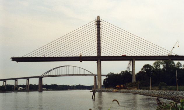
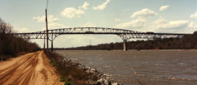
The Chesapeake and Delaware Canal literally separates the Delmarva Peninsula from the 'mainland' as it slices from the Chesapeake Bay across to the Delaware River. The canal is only about 20 miles long, but several bridges span it including two tied arches, one of the world's longest lift spans, a suspended pipeline, a cable-stayed bridge, and two continuous truss cantilevers. All are easily accessible as the land along the canal is preserved as part of a wildlife refuge park through which you can drive (if you don't mind getting your car a bit dusty or muddy). These snapshots are from a few visits to the canal, 1994-1996.
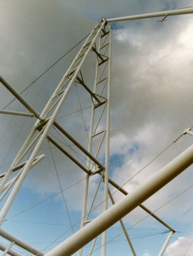
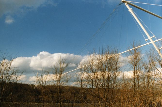
A suspended pipeline across the canal.
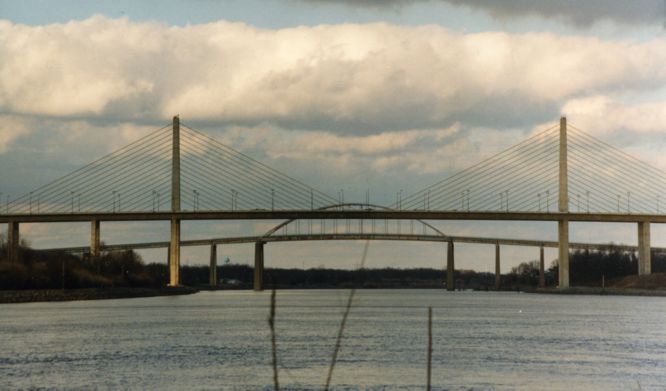
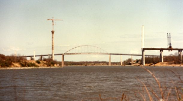
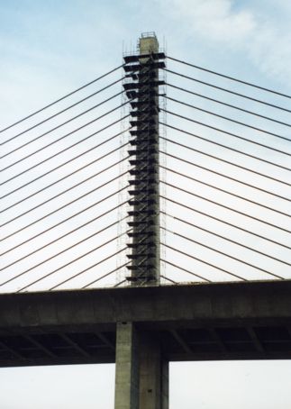
The next set of photos show the cable-stayed suspension bridge in various stages of construction. It is just to the west of the St. Georges tied arch bridge at the eastern end of the canal. The cable-stayed suspension bridge now carries Delaware Route 1 over the canal.
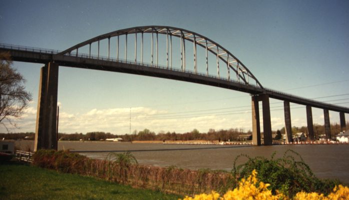
The Chesapeake City Bridge, another tied arch at the western end of the canal.
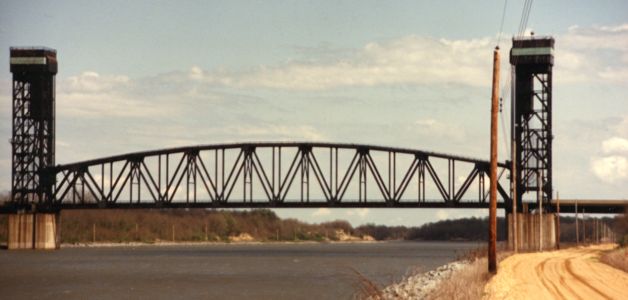
The rail liftbridge midway along the canal.
One of the two flattened through cantilevers spanning the canal.
Mail | Facebook | X (Twitter) | Bluesky