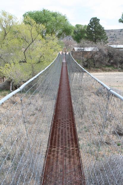
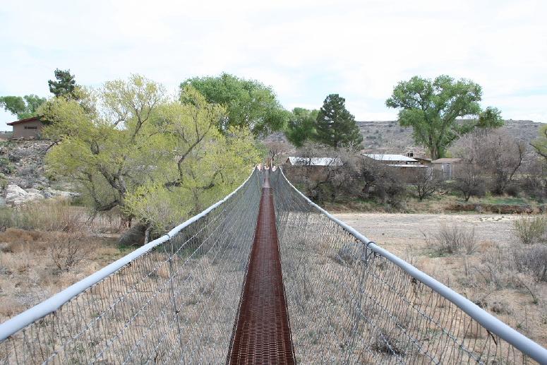
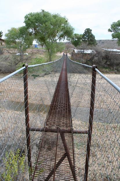
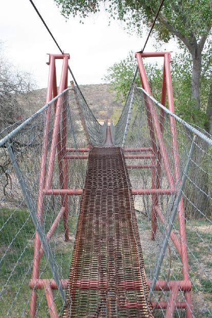
Horseshoe Ranch Private Suspension Footbridge
This is an image set within the Bridgemeister collection.
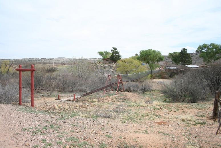
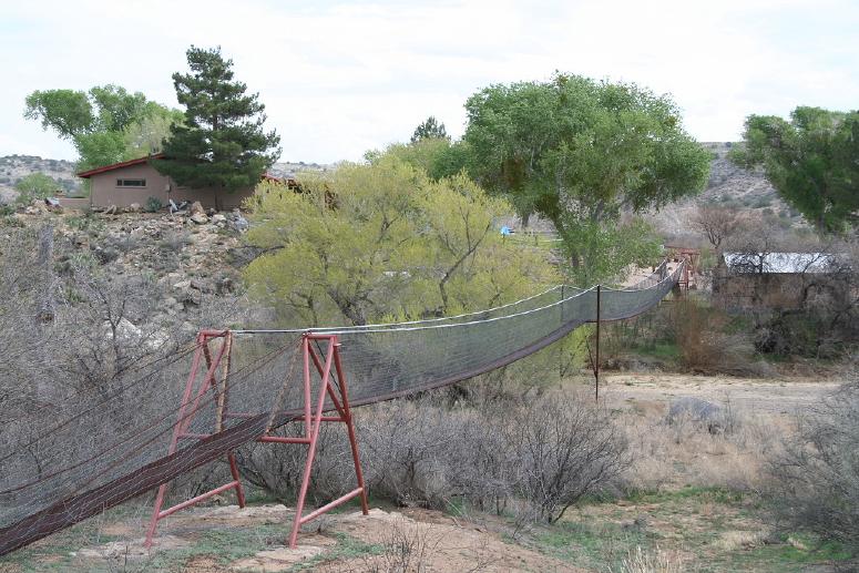
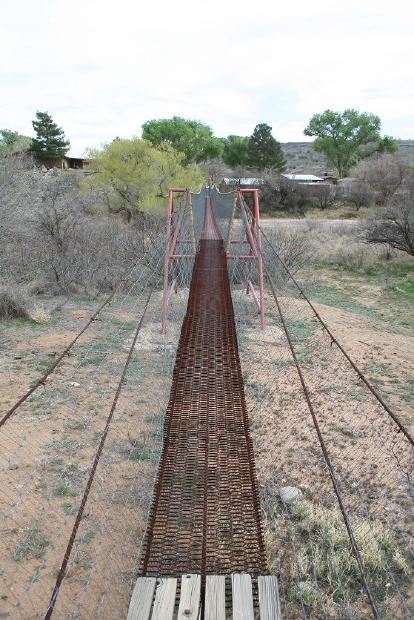
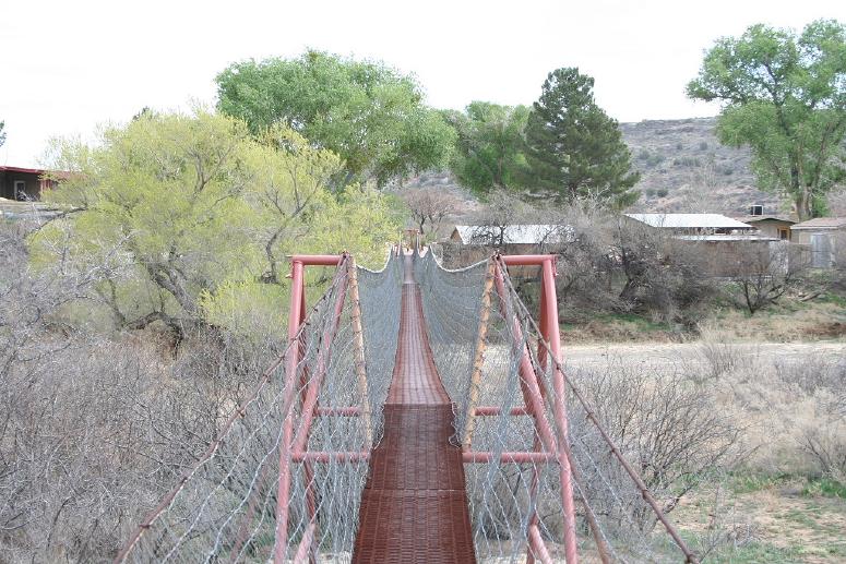
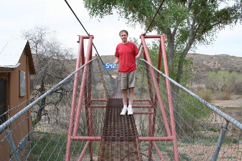
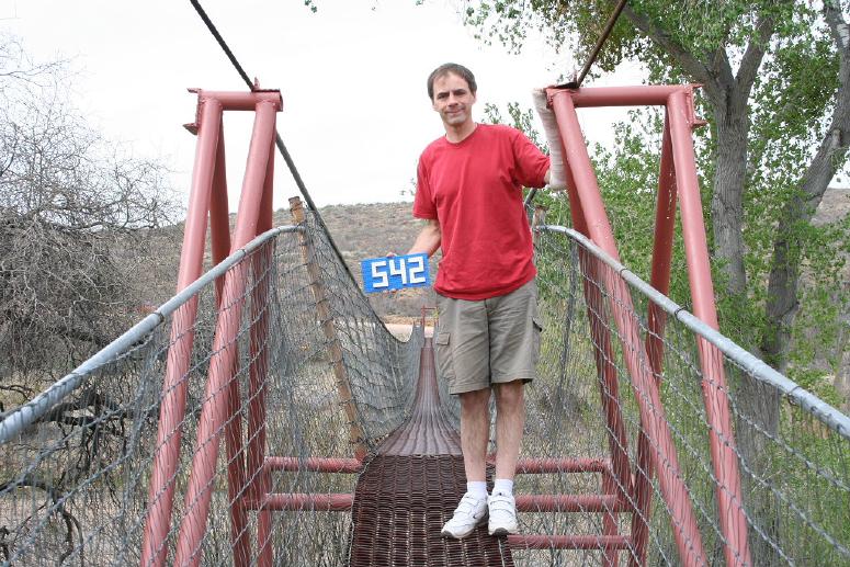
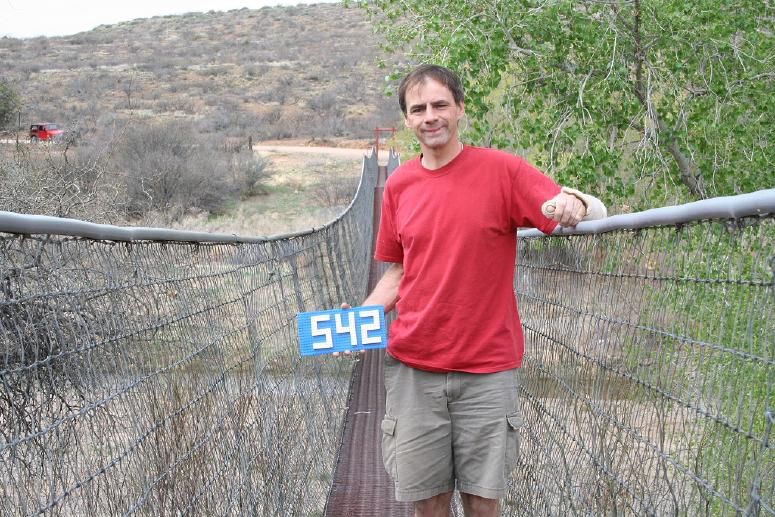
| Bridge: | Horseshoe Ranch Private Suspension Footbridge |
| Location: | Agua Fria National Monument, Arizona, USA |
| Coordinates: | 34.26123 N 112.05884 W |
| Maps: | Acme, GeoHack, Google, OpenStreetMap |
| Image Set Contributor: | Patrick S. O'Donnell |
| Related Image Lists: | All from Patrick S. O'Donnell All in Arizona All in USA All Pedestrian Suspension Bridges |
| Credit: | All photos by Patrick S. O'Donnell. Please do not reuse without permission. |
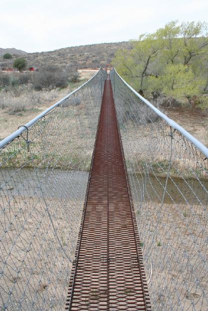
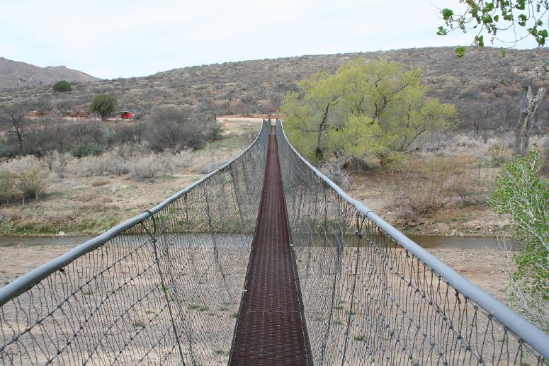
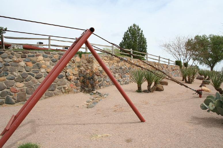
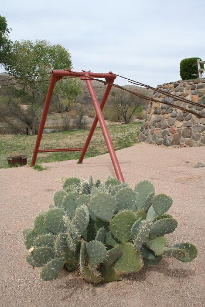
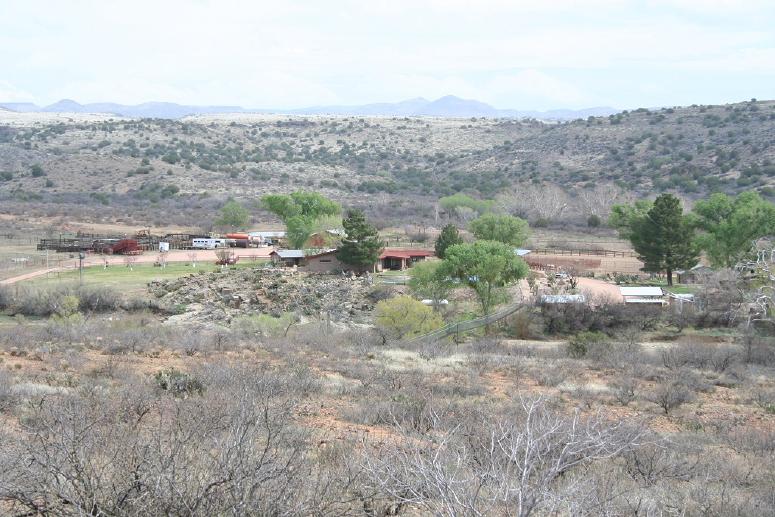
Patrick writes: "This private bridge is visible from Bloody Basin Road, 7 miles into the 32 it takes to get to the Sheep Bridge." Patrick measured the two main spans at 145 and 165 feet.
Mail | Facebook | X (Twitter) | Bluesky