Inventory Search Results (601-700 of 700)
Results : << < ... 201-300 301-400 401-500 501-600 601-700 > >> All
700 suspension bridges were found for search criteria: David completed between 1700 and 2010 including undated bridges.
Bridges 601 through 700 (of 700 total) appear below. Click the Bridgemeister ID number to isolate the bridge on its own page.
If you don't see what you were looking for, try an image search with the same criteria: David
Related:
Your search includes criteria for which the Bridgemeister inventory has incomplete data such as
Year Completed, Usage, Status, Span Length, and Number of Suspended Spans. The results below are
based on the information currently available within the inventory. Also, span lengths are sometimes estimated
based on satellite imagery.
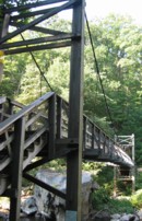
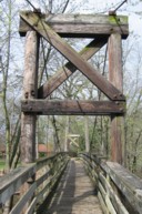
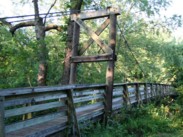
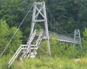
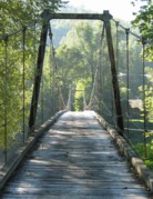
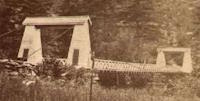
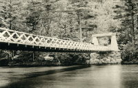
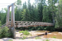
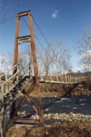
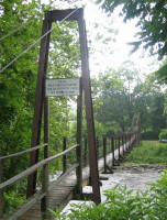
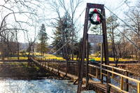
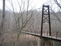
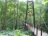
Bridgemeister ID: 1326 (added 2004-04-28)Name: Allegany Location: Luke vicinity, Maryland , USA Crossing: Savage River At or Near Feature: Savage River State Forest Coordinates: 39.501343 N 79.108957 W Maps: Acme , GeoHack , Google , OpenStreetMap Principals: 121st Engineer Battalion (CBT) of the Maryland Army National Guard (Companies B and C) Use: Footbridge Status: In use (last checked: 2016) Main Cables: Wire (steel) Suspended Spans: 1
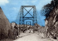
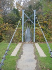
One of two similar bridges in this park. This one has a plaque "Allegany Bridge." Al Schweizer, the operations officer for the project, wrote: "The bridge panels (that portion between the vertical suspender cables attached to the main cables) were prefabricated with deck beams, decking, sway braces, handrails. They were trolleyed across the river since we were not allowed to get into the river. The bridges were erected by Company B from Cumberland, Maryland and Company C from Oakland, Maryland. The erection, to include the forming and pouring of the deadmen cable supports, abutments, towers, cable installation (2” diameter) and all the decking took just two weeks! DNR added the lattice because of children crawling on the bridge." Built as part of same project as (footbridge) - Luke vicinity, Maryland, USA . Bridgemeister ID: 2960 (added 2019-10-06)Name: Anosizato Location: Antananarivo, Madagascar Crossing: Ikopa River Use: Vehicular (one-lane) Status: Replaced Main Cables: Wire Suspended Spans: 1
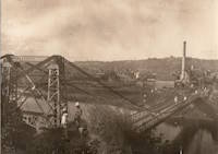
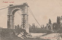
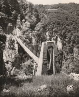
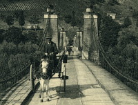
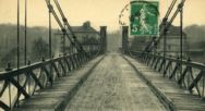
Bridgemeister ID: 5575 (added 2020-12-20)Name: Assat Location: Assat, Pyrénées-Atlantiques , France Crossing: Ousse Use: Vehicular (one-lane) Status: Removed Main Cables: Wire Suspended Spans: 1
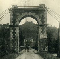
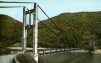
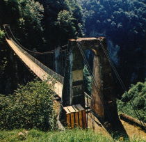
Bridgemeister ID: 3066 (added 2019-10-26)Name: Auriac Also Known As: Chambon Location: Saint-Merd-de-Lapleau, Auriac vicinity, Corrèze , France Crossing: Dordogne River Coordinates: 45.219999 N 2.112607 E Maps: Acme , GeoHack , Google , OpenStreetMap Use: Vehicular Status: In use (last checked: 2019) Main Cables: Wire (steel) Suspended Spans: 1
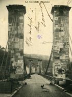
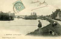
Bridgemeister ID: 1177 (added 2004-01-24)Name: Beaulieu-sur-Dordogne Location: Beaulieu-sur-Dordogne, Corrèze , France Crossing: Dordogne River Use: Vehicular (one-lane) Status: Removed Main Cables: Wire (iron) Suspended Spans: 2 Main Spans: 2
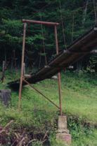
Bridgemeister ID: 557 (added before 2003)Name: Big Run Location: Troy vicinity, Gilmer County, West Virginia , USA Crossing: Cove Creek Coordinates: 39.04545 N 80.77028 W Maps: Acme , GeoHack , Google , OpenStreetMap Use: Footbridge Status: In use (last checked: 2008) Main Cables: Wire Suspended Spans: 3 Main Span: 1 Side Spans: 2
Bridgemeister ID: 1311 (added 2004-04-11)Name: Birr Castle Location: Birr Castle, County Offaly, Ireland Crossing: Camcor River Coordinates: 53.095198 N 7.915938 W Maps: Acme , GeoHack , Google , OpenStreetMap References: BSI Use: Footbridge Status: In use (last checked: 2023) Main Cables: Wire Suspended Spans: 1 Main Span: 1 x 13.4 meters (44 feet)
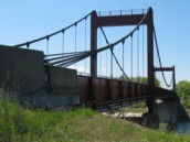
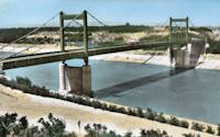
Bridgemeister ID: 1583 (added 2005-01-22)Name: Bollène Location: Bollène, Vaucluse , France Crossing: Donzère Canal Coordinates: 44.284683 N 4.732283 E Maps: Acme , GeoHack , Google , OpenStreetMap Use: Vehicular (two-lane), with walkway Status: In use (last checked: 2023) Main Cables: Wire (steel) Suspended Spans: 3 Main Span: 1 Side Spans: 2
Bridgemeister ID: 1644 (added 2005-03-18)Name: Brookside Park Location: Ames, Iowa , USA Crossing: Squaw Creek At or Near Feature: Brookside Park Coordinates: 42.02895 N 93.62915 W Maps: Acme , GeoHack , Google , OpenStreetMap Use: Footbridge Status: Replaced (last checked: 2009) Main Cables: Wire (steel) Suspended Spans: 1 Main Span: 1 x 39 meters (128 feet) estimated
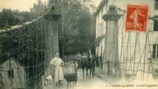
Wrecked by flood May, 2008. Permanently replaced by a non-suspension bridge February, 2009. Bridgemeister ID: 1170 (added 2004-01-23)Name: Cambo-les-Bains Location: Cambo-les-Bains, Pyrénées-Atlantiques , France Crossing: Nive River Use: Vehicular Status: Removed Main Cables: Wire (iron) Suspended Spans: 1
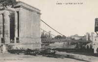
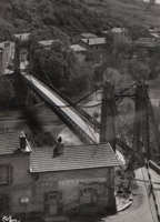
Bridgemeister ID: 1967 (added 2005-11-26)Name: Capdenac Location: Capdenac, Lot and Capdenac-Gare, Aveyron , France Crossing: Lot River Use: Vehicular Status: Removed Main Cables: Wire Suspended Spans: 1
Bridgemeister ID: 7588 (added 2023-05-06)Name: Castle Rock Location: Castle Rock, Washington , USA Crossing: Cowlitz River Use: Vehicular Status: Destroyed, September 17, 1906 Main Cables: Wire Main Span: 1
Destroyed by fire, September 17, 1906. Bridgemeister ID: 319 (added before 2003)Name: Castor Also Known As: Burning Springs Location: Clark Hill Islands, Ontario , Canada Crossing: Niagara River Status: Removed Main Cables: Wire Suspended Spans: 1
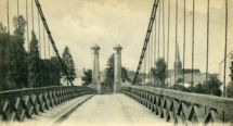
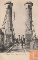
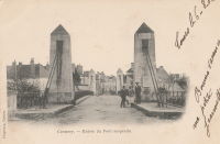
Coordinates indicate likely location. It appears the present day (2020) truss bridge was installed on the former suspension bridge's abutments. Bridgemeister ID: 2054 (added 2006-06-02)Name: Cézy Also Known As: Jacques Cœur Location: Cézy and Saint-Aubin-sur-Yonne, Yonne , France Crossing: Yonne River Coordinates: 47.993878 N 3.343591 E Maps: Acme , GeoHack , Google , OpenStreetMap Use: Vehicular (one-lane), with walkway Status: In use (last checked: 2019) Main Cables: Wire Suspended Spans: 1
Bridgemeister ID: 322 (added before 2003)Name: Chandler's Location: Gorham, New Hampshire , USA Crossing: Androscoggin River Use: Footbridge Status: Removed Main Cables: Wire Main Span: 1 x 68.6 meters (225 feet)
Was located at the end of present-day Alpine Street. Bridgemeister ID: 2964 (added 2019-10-10)Name: Collonges Location: Collonges-au-Mont-d'Or, Métropole de Lyon , France Crossing: Saône River Use: Vehicular Status: Destroyed, September 2, 1944 Main Cables: Wire
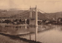
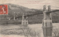
Bridgemeister ID: 7506 (added 2023-01-02)Name: Condrieu Location: Condrieu, Rhône and Les Roches-de-Condrieu, Isère , France Crossing: Rhône River Coordinates: 45.456769 N 4.768646 E Maps: Acme , GeoHack , Google , OpenStreetMap Use: Vehicular Status: In use (last checked: 2022) Main Cables: Wire (steel) Suspended Spans: 2 Main Spans: 2
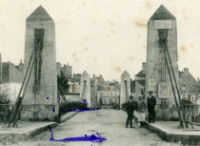
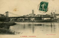
Bridgemeister ID: 1939 (added 2005-10-29)Name: Cormery Location: Cormery and Truyes, Indre-et-Loire , France Crossing: Indre River Principals: Joseph Chaley References: AAJ Status: Removed Main Cables: Wire (iron)
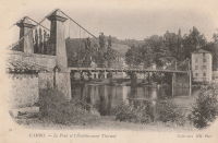
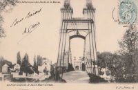
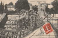
Bridgemeister ID: 2059 (added 2006-06-03)Name: Créteil Also Known As: Saint-Maur Location: Créteil-sur-Marne and Saint-Maur-des-Fossés, Val-de-Marne , France Crossing: Marne River Use: Vehicular (one-lane) Status: Removed Main Cables: Wire Suspended Spans: 1
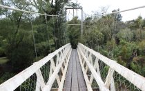
Bridgemeister ID: 3016 (added 2019-10-13)Name: David Scott Trail Location: Mawmyrsiang, Meghalaya , India Coordinates: 25.427530 N 91.752336 E Maps: Acme , GeoHack , Google , OpenStreetMap Use: Footbridge Status: In use (last checked: 2019) Main Cables: Wire (steel)
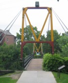
Bridgemeister ID: 2086 (added 2006-06-24)Name: Dinkytown Also Known As: "M" Bridge Location: Minneapolis, Minnesota , USA At or Near Feature: University of Minnesota Coordinates: 44.98 N 93.238267 W Maps: Acme , GeoHack , Google , OpenStreetMap Use: Footbridge Status: Demolished, c. 2018-2019 Main Cables: Wire (steel) Suspended Spans: 1
Connects University of Minnesota campus to Dinkytown neighborhood. Closed March 2008 for fear some heavily rusted plates could fail. Restored and reopened by early 2009, possibly sooner. Closed June 2018 due to "structural deterioration". Expected to be demolished in 2019. Moved from 1949 (footbridge) - Minneapolis, Minnesota, USA . The bridge was moved to its current location from the Bierman Field area of the same campus. Bridgemeister ID: 327 (added before 2003)Name: Elkhurst Location: Elkhurst, Clay County, West Virginia , USA Crossing: Elk River Coordinates: 38.45182 N 81.15428 W Maps: Acme , GeoHack , Google , OpenStreetMap Use: Vehicular (one-lane) Status: Closed, 2003 (last checked: 2004) Main Cables: Wire (steel) Suspended Spans: 3 Main Span: 1 Side Spans: 2
Very narrow vehicular suspension bridge. 4,200-pound weight limit imposed, 1968. Bridgemeister ID: 3674 (added 2020-01-26)Name: Elvanfoot Location: Elvanfoot, Scotland , United Kingdom Crossing: River Clyde Coordinates: 55.441074 N 3.654928 W Maps: Acme , GeoHack , Google , OpenStreetMap Principals: David Rowell & Co. Use: Footbridge Status: Closed, 2007 (last checked: 2020) Main Cables: Wire (steel) Main Span: 1 x 38.5 meters (126.3 feet) estimated
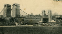
Bridgemeister ID: 2715 (added 2019-06-21)Name: Evry-Petit-Bourg Location: Étiolles, Soisy-sur-Seine vicinity and Évry, Essonne , France Crossing: Seine River Coordinates: 48.63661 N 2.455212 E Maps: Acme , GeoHack , Google , OpenStreetMap Use: Vehicular Status: Removed Main Cables: Wire Suspended Spans: 2 Main Spans: 2
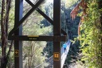
Abutments still standing as of 2022. Location inundated behind Chastang Dam. Coordinates are approximate location in the Dordogne valley. Unclear if the bridge was removed before the valley was inundated. Bridgemeister ID: 1635 (added 2005-03-12)Name: Falls River Swing Location: Abel Tasman National Park, New Zealand Crossing: Falls River Coordinates: 40.9287808 S 173.0486477 E Maps: Acme , GeoHack , Google , OpenStreetMap Use: Footbridge Status: In use (last checked: 2017) Main Cables: Wire (steel) Suspended Spans: 1
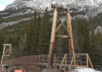
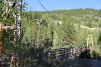
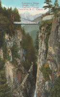
2021, May-June: possibly replaced by a new bridge. Bridgemeister ID: 815 (added 2003-05-30)Name: Galatea Trail Location: Kananaskis Village vicinity, Alberta , Canada Crossing: Kananaskis River At or Near Feature: Galatea Trailhead Coordinates: 50.8634 N 115.178917 W Maps: Acme , GeoHack , Google , OpenStreetMap Use: Footbridge Status: In use (last checked: 2022) Main Cables: Wire (steel) Suspended Spans: 1
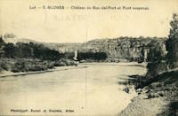
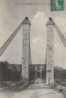
This is an older bridge of 19th-century construction that has likely been removed. It is unclear if this bridge was at the same location as the current Gluges suspension bridge. See Gluges - Gluges, Lot, France . Bridgemeister ID: 1006 (added 2003-11-21)Name: Grand Canyon Also Known As: Second Canyon Location: Capilano, British Columbia , Canada Use: Footbridge
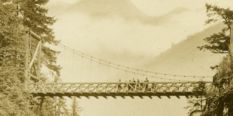
Level footbridge with large timber towers, not the famous Capilano swinging bridge. Bridgemeister ID: 282 (added before 2003)Name: Guymard Location: Godeffroy, Guymard Lake vicinity, New York , USA Crossing: Neversink River Status: Removed
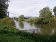
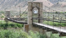
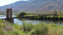
Completed circa 1850. Deck failed, 1927. Bridgemeister ID: 822 (added 2003-05-31)Name: James Craig Bair Sheep Ranch Location: Dotsero vicinity, Colorado , USA Crossing: Colorado River At or Near Feature: Glenwood Canyon vicinity Coordinates: 39.64485 N 107.07813 W Maps: Acme , GeoHack , Google , OpenStreetMap Use: Footbridge and Stock Status: Extant (last checked: 2020) Main Cables: Wire (steel) Suspended Spans: 2 Main Span: 1 x 64 meters (210 feet) estimated Side Span: 1 x 16.5 meters (54 feet) estimated
Bridgemeister ID: 1312 (added 2004-04-11)Name: Kinnitty Castle Location: Kinnitty Castle, County Offaly, Ireland Crossing: Camcor River Coordinates: 53.102260 N 7.696501 W Maps: Acme , GeoHack , Google , OpenStreetMap References: BSI Use: Footbridge Status: Closed (last checked: 2019) Main Cables: Wire Suspended Spans: 1 Main Span: 1 x 8.2 meters (27 feet)
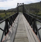
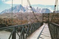
Bridgemeister ID: 1205 (added 2004-02-05)Name: Kusanovic Location: Torres del Paine and Amarga, Chile Crossing: Rio Paine Coordinates: 50.974692 S 72.802274 W Maps: Acme , GeoHack , Google , OpenStreetMap Principals: David Rowell & Co. Use: Vehicular (one-lane) Status: Bypassed (last checked: 2019) Main Cables: Wire Suspended Spans: 1 Main Span: 1
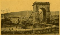
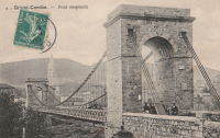
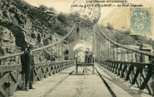
Bridgemeister ID: 2075 (added 2006-06-10)Name: La Grand-Combe Location: La Grand-Combe, Gard , France Crossing: Gardon River Use: Vehicular Status: Removed Main Cables: Wire Suspended Spans: 1
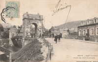
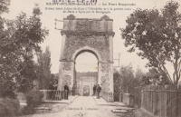
This record represents the bridge as rebuilt with the midspan pier in the 1880s. Ann Saul sent a synopsis of this bridge's history from La Roche-Guyon, Bourg Feodal de l'Ancien Vexin Francais by Ernest Colas. "The author states that the bridge was built in 1838, originally with two pylons, one on each bank of the Seine. In 1882, gale force winds turned over a wide stretch of the bridge floor. Afterwards, another pylon was placed in the middle of the river; however, the bridge was not considered stable enough for modern transportation (the automobile, perhaps). Plans were made for a new bridge and the old one was demolished. The new bridge was never built because of World War I." Replaced 1838 La Roche-Guyon - La Roche-Guyon, Val-d'Oise and Yvelines, France . Bridgemeister ID: 2624 (added 2018-12-31)Name: Lake Pegasus Location: Pegasus, New Zealand Crossing: Lake Pegasus Coordinates: 43.310571 S 172.696599 E Maps: Acme , GeoHack , Google , OpenStreetMap Use: Footbridge Status: In use (last checked: 2017) Main Cables: Wire (steel) Suspended Spans: 3 Main Span: 1 Side Spans: 2
Bridgemeister ID: 2032 (added 2006-04-23)Name: Les Taillades Location: Branoux-Les-Taillades and La Levade, Gard , France Crossing: Gardon d'Alès Use: Vehicular Status: Removed Main Cables: Wire Suspended Spans: 1
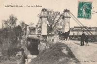
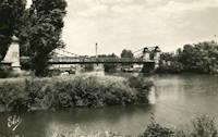
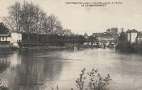
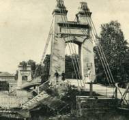
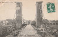
Bridgemeister ID: 1975 (added 2005-11-27)Name: Libourne Location: Libourne, Gironde , France Crossing: Isle River Use: Vehicular (one-lane) Status: Removed Main Cables: Wire Suspended Spans: 1
Bridgemeister ID: 1332 (added 2004-05-01)Name: Lindsay Lane Location: Criglersville, Virginia , USA Crossing: Robinson River Coordinates: 38.4574 N 78.301833 W Maps: Acme , GeoHack , Google , OpenStreetMap Principals: VDOT Use: Footbridge Status: Closed, October, 2020 (last checked: 2022) Main Cables: Wire (steel) Suspended Spans: 1 Main Span: 1 x 45.7 meters (150 feet) estimated
There are two suspension footbridges across the Robinson River at Criglersville. This one is located where Lindsay Lane fords Robinson River. 2020, October: Closed after failing safety inspection. 2021, February: VDOT (Virginia Department of Transportation) proposals to either rehabilitate or replace the bridge are being considered. Near 1987 (footbridge) - Criglersville, Virginia, USA . Bridgemeister ID: 1046 (added 2003-12-06)Name: Martins Ferry Location: Martins Ferry, Weitchpec vicinity, California , USA Crossing: Klamath River Use: Vehicular (one-lane) Status: Removed Main Cables: Wire
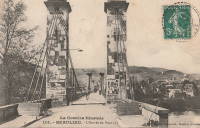
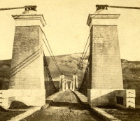
Bridgemeister ID: 5579 (added 2020-12-20)Name: Moissac Also Known As: Coudol, Boudou Location: Boudou and Saint-Nicolas-de-la-Grave, Tarn-et-Garonne , France Crossing: Garonne River Coordinates: 44.091900 N 1.028814 E Maps: Acme , GeoHack , Google , OpenStreetMap Use: Vehicular (one-lane) Status: In use (last checked: 2020) Main Cables: Wire (steel) Suspended Spans: 4 Main Spans: 4
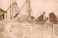
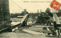
The older images linked here show the original configuration of the bridge. The pylons have since been heightened and the deck and suspension system have been completely replaced. Bridgemeister ID: 2335 (added 2007-07-09)Name: Monéteau Location: Monéteau, Yonne , France Crossing: Yonne River Use: Vehicular (one-lane), with walkway Status: Collapsed, September 1911 Main Cables: Wire
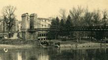
Appears to have collapsed due to a construction accident during the erection of its adjacent replacement (an arch bridge) causing both bridges to collapse. Bridgemeister ID: 2198 (added 2007-01-27)Name: Monsempron-Libos Location: Monsempron-Libos, Lot-et-Garonne , France Crossing: Lot River Use: Vehicular (one-lane) Status: Removed Suspended Spans: 1
Bridgemeister ID: 2068 (added 2006-06-07)Name: Nogent-sur-Loir Location: Nogent-sur-Loir, Chateau-sur-Loir vicinity, Sarthe , France Crossing: Loir River Use: Vehicular Status: Removed Suspended Spans: 1
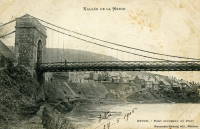
Bridgemeister ID: 7228 (added 2022-07-15)Name: Nouvion Location: Nouvion-sur-Meuse, Ardennes , France Crossing: Meuse River Use: Vehicular (one-lane) Main Cables: Wire
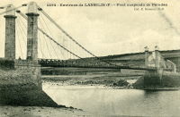
Bridgemeister ID: 1971 (added 2005-11-27)Name: Paluden Location: Plouguerneau and Lannilis, Finistère , France Crossing: L'Aber Wrac'h Use: Vehicular Status: Removed Main Cables: Wire Suspended Spans: 1
Bridgemeister ID: 1600 (added 2005-02-06)Name: Peseux Location: Chaussin and Peseux, Jura , France Crossing: Doubs River References: AAJ Use: Vehicular Status: Removed Main Cables: Wire Suspended Spans: 1
Bridgemeister ID: 1587 (added 2005-01-22)Name: Pierrelatte Location: Pierrelatte, Drôme , France Crossing: Donzère Canal Coordinates: 44.364983 N 4.73105 E Maps: Acme , GeoHack , Google , OpenStreetMap Use: Vehicular (two-lane, heavy vehicles), with walkway Status: In use (last checked: 2005) Main Cables: Wire (steel) Suspended Spans: 3 Main Span: 1 Side Spans: 2 Characteristics: Self-anchored
Bridgemeister ID: 3159 (added 2019-11-03)Name: Plessis-Brion Location: Le Plessis-Brion and Thourotte, Oise , France Crossing: Oise River Use: Vehicular Status: Removed
Bridgemeister ID: 848 (added before 2003)Name: Pollux Also Known As: Burning Springs Location: Clark Hill Islands, Ontario , Canada Crossing: Niagara River Status: Removed Main Cables: Wire
Bridgemeister ID: 1653 (added 2005-03-19)Name: Revin Location: Revin, Ardennes , France Crossing: Meuse River Use: Vehicular Status: Removed Suspended Spans: 1
Bridgemeister ID: 793 (added 2003-03-28)Name: Rockbridge Baths Location: Rockbridge Baths, Virginia , USA Crossing: Maury River Coordinates: 37.90029 N 79.40998 W Maps: Acme , GeoHack , Google , OpenStreetMap Principals: VDOT Use: Footbridge Status: In use (last checked: 2021) Main Cables: Wire (steel) Suspended Spans: 1 Main Span: 1 x 56.7 meters (186 feet) estimated
Bridgemeister ID: 1736 (added 2005-04-19)Name: Roquemaure Location: Roquemaure, Gard and Orange, Vaucluse , France Crossing: Rhône River Coordinates: 44.071967 N 4.768917 E Maps: Acme , GeoHack , Google , OpenStreetMap Use: Vehicular (two-lane, heavy vehicles), with walkway Status: In use (last checked: 2019) Main Cables: Wire (steel) Suspended Spans: 3 Main Span: 1 Side Spans: 2
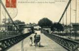
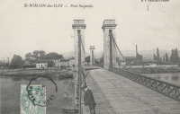
Bridgemeister ID: 2130 (added 2006-10-22)Name: Saint-Romain-des-Iles Location: Saint-Romain-des-Iles, Saône-et-Loire and Ain , France Crossing: Saône River References: AAJ Use: Vehicular Status: Removed Main Cables: Wire
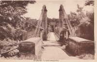
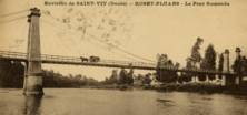
Completed during or before 1840. Bridgemeister ID: 2228 (added 2007-03-18)Name: Saint-Vit Location: Saint-Vit and Roset-Fluans, Doubs , France Crossing: Doubs River Use: Vehicular Status: Removed Main Cables: Wire
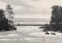
Sign at bridge states: "Destroyed August 1976, Rebuilt 1977" Bridgemeister ID: 649 (added 2003-02-17)Name: Sister Island Location: Niagara Falls, New York , USA Crossing: Niagara River At or Near Feature: Three Sister Islands References: HBE Use: Footbridge Status: Removed Main Cables: Wire Suspended Spans: 1
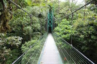
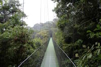
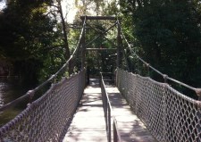
Bridgemeister ID: 1118 (added 2004-01-06)Name: Sky Walk 1 Location: Monteverde, Santa Elena vicinity, Costa Rica Crossing: Monteverde Cloud Forest At or Near Feature: Sky Adventures Monteverde Park Coordinates: 10.336227 N 84.808606 W Maps: Acme , GeoHack , Google , OpenStreetMap Use: Footbridge Status: In use (last checked: 2023) Main Cables: Wire (steel) Suspended Spans: 1
One of six suspension bridges on the treetop Sky Walk. Near (footbridge) - Monteverde, Santa Elena vicinity, Costa Rica . Near (footbridge) - Monteverde, Santa Elena vicinity, Costa Rica . Near Sky Walk 2 - Monteverde, Santa Elena vicinity, Costa Rica . Near Sky Walk 3 - Monteverde, Santa Elena vicinity, Costa Rica . Near Sky Walk 4 - Monteverde, Santa Elena vicinity, Costa Rica . Near Sky Walk 5 - Monteverde, Santa Elena vicinity, Costa Rica . Near Sky Walk 6 - Monteverde, Santa Elena vicinity, Costa Rica . Bridgemeister ID: 7786 (added 2023-08-21)Name: Sky Walk 2 Location: Monteverde, Santa Elena vicinity, Costa Rica Crossing: Monteverde Cloud Forest At or Near Feature: Sky Adventures Monteverde Park Coordinates: 10.336986 N 84.805990 W Maps: Acme , GeoHack , Google , OpenStreetMap Use: Footbridge Status: In use (last checked: 2023) Main Cables: Wire (steel) Suspended Spans: 1
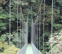
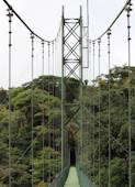
One of six suspension bridges along the treetop Sky Walk. Near (footbridge) - Monteverde, Santa Elena vicinity, Costa Rica . Near (footbridge) - Monteverde, Santa Elena vicinity, Costa Rica . Near Sky Walk 1 - Monteverde, Santa Elena vicinity, Costa Rica . Near Sky Walk 3 - Monteverde, Santa Elena vicinity, Costa Rica . Near Sky Walk 4 - Monteverde, Santa Elena vicinity, Costa Rica . Near Sky Walk 5 - Monteverde, Santa Elena vicinity, Costa Rica . Near Sky Walk 6 - Monteverde, Santa Elena vicinity, Costa Rica . Bridgemeister ID: 7787 (added 2023-08-21)Name: Sky Walk 3 Location: Monteverde, Santa Elena vicinity, Costa Rica Crossing: Monteverde Cloud Forest At or Near Feature: Sky Adventures Monteverde Park Coordinates: 10.339592 N 84.807801 W Maps: Acme , GeoHack , Google , OpenStreetMap Use: Footbridge Status: In use (last checked: 2023) Main Cables: Wire (steel) Suspended Spans: 1
One of six suspension bridges along the treetop Sky Walk. Near (footbridge) - Monteverde, Santa Elena vicinity, Costa Rica . Near (footbridge) - Monteverde, Santa Elena vicinity, Costa Rica . Near Sky Walk 1 - Monteverde, Santa Elena vicinity, Costa Rica . Near Sky Walk 2 - Monteverde, Santa Elena vicinity, Costa Rica . Near Sky Walk 4 - Monteverde, Santa Elena vicinity, Costa Rica . Near Sky Walk 5 - Monteverde, Santa Elena vicinity, Costa Rica . Near Sky Walk 6 - Monteverde, Santa Elena vicinity, Costa Rica . Bridgemeister ID: 7788 (added 2023-08-21)Name: Sky Walk 4 Location: Monteverde, Santa Elena vicinity, Costa Rica Crossing: Monteverde Cloud Forest At or Near Feature: Sky Adventures Monteverde Park Coordinates: 10.339206 N 84.808631 W Maps: Acme , GeoHack , Google , OpenStreetMap Use: Footbridge Status: In use (last checked: 2023) Main Cables: Wire (steel) Suspended Spans: 1
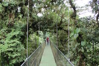
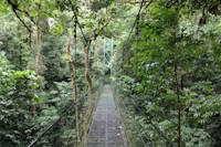
One of six suspension bridges along the treetop Sky Walk. Near (footbridge) - Monteverde, Santa Elena vicinity, Costa Rica . Near (footbridge) - Monteverde, Santa Elena vicinity, Costa Rica . Near Sky Walk 1 - Monteverde, Santa Elena vicinity, Costa Rica . Near Sky Walk 2 - Monteverde, Santa Elena vicinity, Costa Rica . Near Sky Walk 3 - Monteverde, Santa Elena vicinity, Costa Rica . Near Sky Walk 5 - Monteverde, Santa Elena vicinity, Costa Rica . Near Sky Walk 6 - Monteverde, Santa Elena vicinity, Costa Rica . Bridgemeister ID: 7789 (added 2023-08-21)Name: Sky Walk 5 Location: Monteverde, Santa Elena vicinity, Costa Rica Crossing: Monteverde Cloud Forest At or Near Feature: Sky Adventures Monteverde Park Coordinates: 10.338204 N 84.808238 W Maps: Acme , GeoHack , Google , OpenStreetMap Use: Footbridge Status: In use (last checked: 2023) Main Cables: Wire (steel) Suspended Spans: 3 Main Spans: 3
One of six suspension bridges on the treetop Sky Walk. This is the largest of the group and the only multi-span bridge. Near (footbridge) - Monteverde, Santa Elena vicinity, Costa Rica . Near (footbridge) - Monteverde, Santa Elena vicinity, Costa Rica . Near Sky Walk 1 - Monteverde, Santa Elena vicinity, Costa Rica . Near Sky Walk 2 - Monteverde, Santa Elena vicinity, Costa Rica . Near Sky Walk 3 - Monteverde, Santa Elena vicinity, Costa Rica . Near Sky Walk 4 - Monteverde, Santa Elena vicinity, Costa Rica . Near Sky Walk 6 - Monteverde, Santa Elena vicinity, Costa Rica . Bridgemeister ID: 7790 (added 2023-08-21)Name: Sky Walk 6 Location: Monteverde, Santa Elena vicinity, Costa Rica Crossing: Monteverde Cloud Forest At or Near Feature: Sky Adventures Monteverde Park Coordinates: 10.338119 N 84.808717 W Maps: Acme , GeoHack , Google , OpenStreetMap Use: Footbridge Status: In use (last checked: 2023) Main Cables: Wire (steel) Suspended Spans: 1
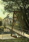
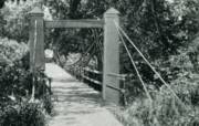
One of six suspension bridges on the treetop Sky Walk. Near (footbridge) - Monteverde, Santa Elena vicinity, Costa Rica . Near (footbridge) - Monteverde, Santa Elena vicinity, Costa Rica . Near Sky Walk 1 - Monteverde, Santa Elena vicinity, Costa Rica . Near Sky Walk 2 - Monteverde, Santa Elena vicinity, Costa Rica . Near Sky Walk 3 - Monteverde, Santa Elena vicinity, Costa Rica . Near Sky Walk 4 - Monteverde, Santa Elena vicinity, Costa Rica . Near Sky Walk 5 - Monteverde, Santa Elena vicinity, Costa Rica . Bridgemeister ID: 361 (added before 2003)Name: Swinging Also Known As: Orange Grove Location: Catonsville, Maryland , USA Crossing: Patapsco River At or Near Feature: Patapsco Valley State Park Coordinates: 39.241086 N 76.749746 W Maps: Acme , GeoHack , Google , OpenStreetMap Use: Footbridge Status: In use (last checked: 2009) Main Cables: Wire (steel) Suspended Spans: 1
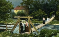
Bridgemeister ID: 358 (added before 2003)Name: Swinging Location: Carthage and Carterville, Missouri , USA Crossing: Center Creek At or Near Feature: Lakeside Park Use: Footbridge Suspended Spans: 1
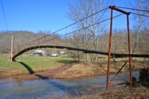
Was in use in early 1900's. Bridgemeister ID: 1617 (added 2005-02-26)Name: Swinging Location: Everett, Pennsylvania , USA Crossing: Raystown Branch Juniata River Coordinates: 40.01670 N 78.3539 W Maps: Acme , GeoHack , Google , OpenStreetMap Use: Vehicular (one-lane) Status: In use (last checked: 2021) Main Cables: Wire (steel) Suspended Spans: 3 Main Span: 1 x 43 meters (141 feet) estimated Side Spans: 1 x 11 meters (36 feet) estimated,
Crossed a channel of the Kennebec River to Mill Island. Appears to have been located at the coordinates provided here. Bridgemeister ID: 259 (added before 2003)Name: Swinging Location: Iron Mountain, Michigan , USA At or Near Feature: Twin Falls vicinity Use: Footbridge Main Cables: Wire
Bridgemeister ID: 607 (added 2003-01-14)Name: Swinging Location: Little Falls vicinity, Minnesota , USA Crossing: Pike Creek At or Near Feature: Lindbergh State Park Use: Footbridge Status: Removed
From David Denenberg: "I stopped by this park in 2006 and asked at the park station if the bridge was still in existence. They said there were some short modern steel footbridges, but no suspension bridges remaining. The person I spoke with knew such a bridge had existed at one point, in the park, but suspected it had been removed years ago. I hope he was right because I decided not to pay the permit fee and verify for myself." Bridgemeister ID: 1310 (added 2004-04-10)Name: Swinging Location: Nowata, Oklahoma , USA Status: Removed Main Cables: Wire
Bridgemeister ID: 2609 (added 2014-04-15)Name: Tom Sawyer Island Location: Orlando, Florida , USA At or Near Feature: Disney World Coordinates: 28.420305 N 81.583760 W Maps: Acme , GeoHack , Google , OpenStreetMap Use: Footbridge Status: In use (last checked: 2019) Main Cables: Wire (steel) Suspended Spans: 1
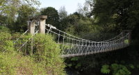
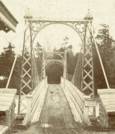
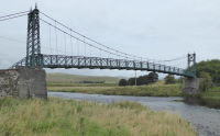
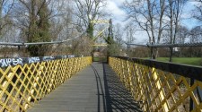
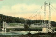
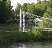
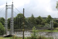
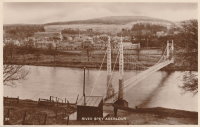
Suspension bridge inside Disney World at the Tom Sawyer Island attraction. Bridgemeister ID: 781 (added 2003-03-16)Name: Victoria Also Known As: Penny, Aberlour Location: Charlestown of Aberlour and Wester Elchies, Scotland , United Kingdom Crossing: River Spey Coordinates: 57.47044 N 3.23173 W Maps: Acme , GeoHack , Google , OpenStreetMap Principals: James Abernethy & Co. "Abernethy Foundry" References: HARPER , HBR Use: Footbridge Status: In use (last checked: 2014) Main Cables: Wire (steel) Suspended Spans: 1
William Craig describes the bridge, "Built about 1900 by James Abernethy & Co. The pylons are tapered lattice girders with ball and spike finials and cross braced. Walkway is lattice girder hung from suspension cables." Near (footbridge) - Aberlour, Scotland, United Kingdom . Bridgemeister ID: 1999 (added 2005-12-25)Name: Villevallier Location: Villevallier and Saint-Julien-du-Sault, Yonne , France Crossing: Yonne River Use: Vehicular Status: Removed Main Cables: Chain (iron)
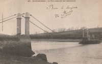
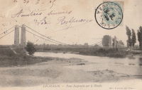
Bridgemeister ID: 1160 (added 2004-01-18)Name: Vireux Location: Vireux, Ardennes , France Crossing: Meuse River Use: Vehicular Status: Removed Main Cables: Chain Suspended Spans: 1
Eric Sakowski asked the Humboldt County Historical Society for information about this bridge and received this answer from Catherine Mace: "You have a good picture of the bridge over the Klamath River at Weitchpec. The large tree you see through the bridge is the gambling tree and the village of Weitchpec is the structures behind it. The road goes across and makes almost a hairpin turn to the right then it branches . To the right you go up river and to the left goes down river through Weitchpec." See 1861 Weitchpec - Weitchpec, California, USA . The bridge pictured here was likely a replacement for the older bridge. Bridgemeister ID: 369 (added before 2003)Name: Wiggly Location: York, Maine , USA Coordinates: 43.136717 N 70.650033 W Maps: Acme , GeoHack , Google , OpenStreetMap Use: Footbridge Status: In use (last checked: 2024) Main Cables: Wire (steel) Suspended Spans: 1 Main Span: 1 x 22.9 meters (75 feet)
Often claimed to be the "smallest" suspension bridge in the world. It is not and never was. There are dozens of suspension bridges with main spans shorter than the 75 feet (22.86 meters) usually claimed as the Wiggly bridge's length. Bridgemeister ID: 1184 (added 2004-01-24)Name: Yzeures-sur-Creuse Location: Yzeures-sur-Creuse, Indre-et-Loire , France Crossing: Creuse River Use: Vehicular Status: Removed Main Cables: Wire (iron)
Mail | Facebook | Twitter
